When I look out the window right now my garden has big bare patches that trick me into thinking I have far more room for fruit trees than I really do. When the rain is coming down and my infant is asleep, I like to stare out to the garden, imagining a wonderland of edible greenery.
I have big visions: a mini-orchard draped with perfectly ripe fruit that hangs happily until I get the urge to stroll over to pick it, chickens clucking peaceably as they peck down grubs, bountiful weed-free vegetable beds that are always at full production.
It takes work and planning (and a very healthy dose of self-delusion) to attempt to bring a vision like that into being. When it’s too rainy to go outside and shovel dirt and build beds and plant trees, sometimes I like to be a very lazy garden planner.
Here’s how. Go to Google Maps and type in your address. If you live in a relatively urban area in the US, chances are good you have a Satellite View option for your home. Turn on Satellite View and zoom in as much as you possibly can.
Grab a screen capture of your property. On a Mac, hold down Command-Shift-4 and select the portion of the map that you could, legally, cover in rutabagas and cucumbers. On a Windows machine, I am told that you just hit the “Print Screen” (PrtScn) button.
Open up your screen capture in your favorite image editing software. Adjust the size so that it’s something you can work with. It’ll be grainy, but who cares? I use Pixelmator because Photoshop was just out of the budget. But whatever you’ve got – MS Paint, KidPix – should work. You just need the ability to crop and draw with a paintbrush tool.
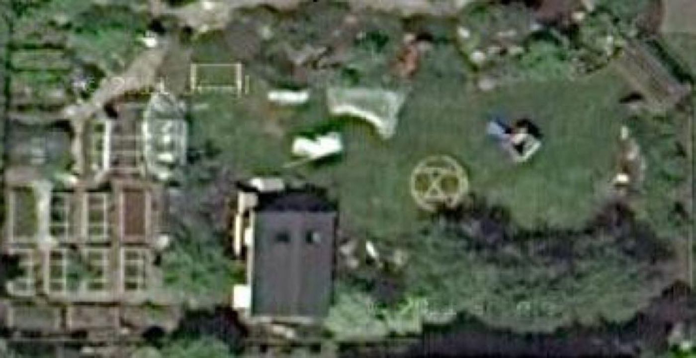
If you look closely you can see a raised bed on the lawn that Nick was building when the satellite image was taken. That bed was one of 5 that colonized our front parking strip area (not shown). I just love that any random fly-over captures us expanding our garden.

Now go ahead and play around. See what the bird’s eye view of your property would be with a few trees here or an extra raised bed there. If you already have a bed of known dimensions, you can copy and paste it to see where another one might fit.
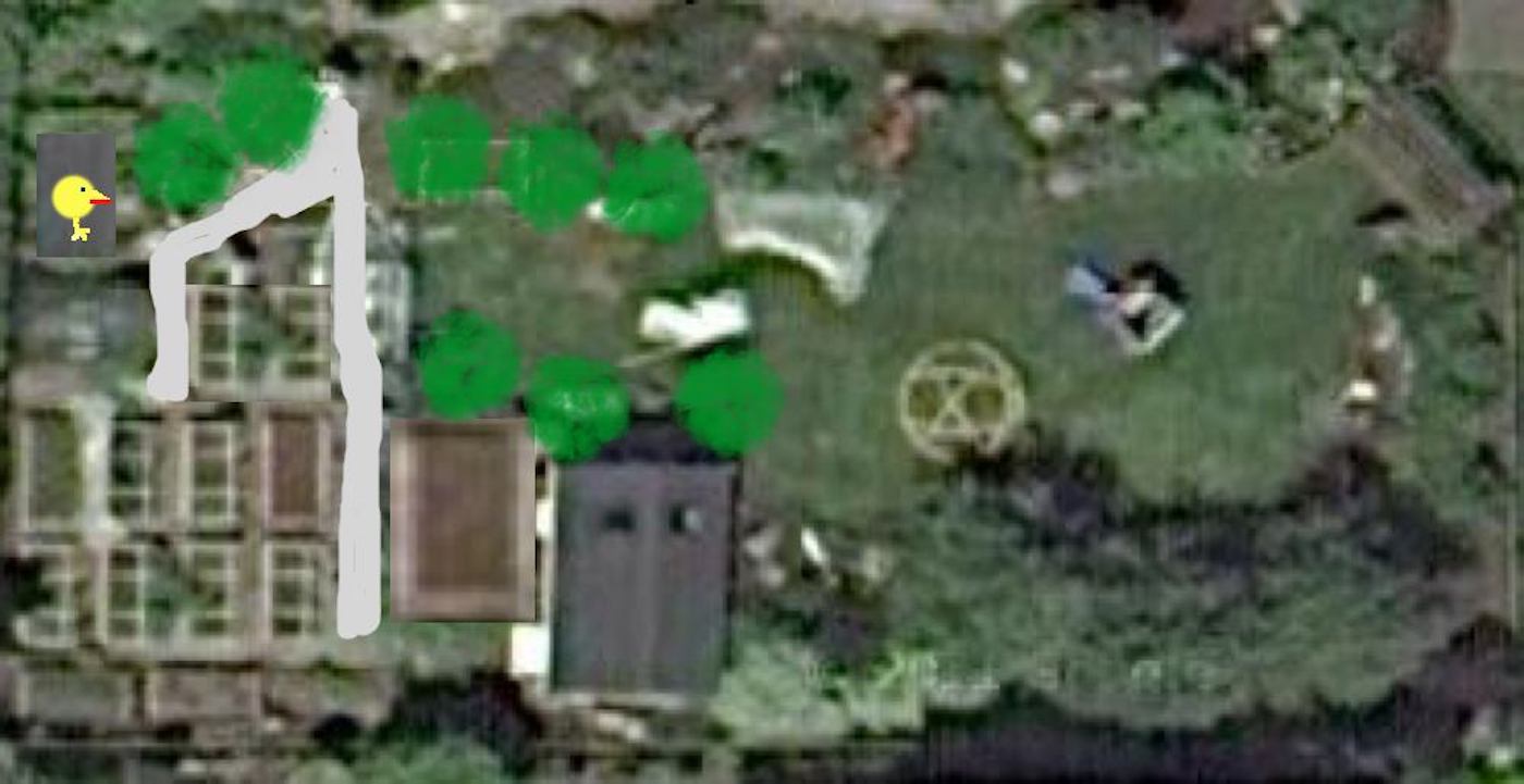
Here’s an “after” sketch, complete with a new path, a big perennial bed, eight new fruit trees, two new raised beds and a chicken coop (see the chicken?). Obviously, I’m not making high art here, but it’s fun and a great way to see if your ideas will fit in the space you’ve got. If only the real work were this easy!

Let the rain fall outside and enjoy virtually redesigning your garden without even lifting a shovel.
3
What a great idea! We're expanding the garden this year and hoping to plant some shrubs/trees, and this seems like a very simple way to help us plan.
I've been trying to find garden/landscaping software, but no luck. Granted, all I did was post on Ravelry, but still!
P.S. I should specify Mac-friendly. 🙂
I use a measuring tape (a long one) and AutoCAD but then again, I'm a professional landscape designer (actually work in landscape architecture but I'm not licensed so I can't call myself a "landscape architect"). If you ever need any tips just throw me an email.
Mother Earth News has a pretty swanky garden planner that you can use free for 30 days:
http://www.motherearthnews.com/garden-planner/vegetable-garden-planner.aspx
Using the Google capture would help fill it out. But I do like your caveman style map drawings.
I did that a few years ago, drew in my garden area from Google Earth. Unfortunately my garden pales in comparison to yours, but such is life with two growing boys that LOVE to play in the backyard. They get the yard until they outgrow it, then it'll become a bigger contriuter to food production.
Great idea, thanks. 🙂
Great ‘lazy’ garden planning! We are planning some changes in our garden , but as I’m too busy (not too lazy), this idea is going to work perfectly good. Thank you for sharing!